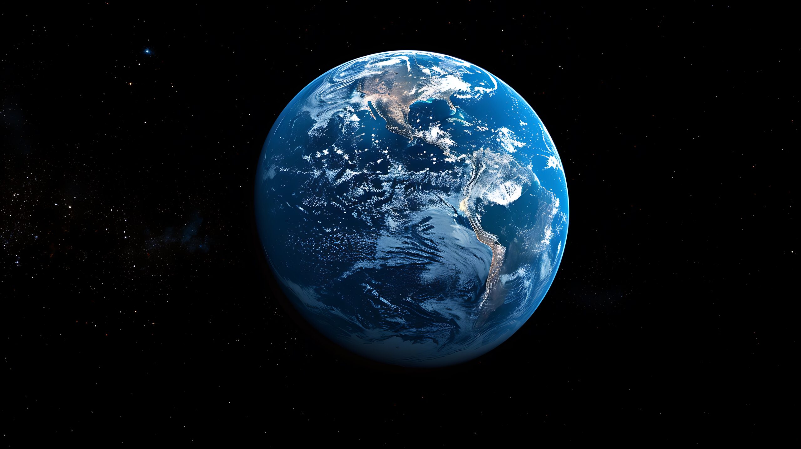
In an era where real-time information is more crucial than ever, technology has stepped in to bridge the gap between what’s happening on our planet and how we observe it. One of the most revolutionary tools in this domain is Zoom Earth — a free, interactive platform that allows users to view live satellite imagery of Earth, monitor weather patterns, and witness natural events as they unfold.
Whether you’re a weather enthusiast, environmental researcher, or simply someone fascinated by the changing face of our planet, Zoom Earth offers a powerful visual gateway to real-time data and images, all accessible from your browser.
What is Zoom Earth?
Zoom Earth is a web-based application that displays live satellite images, weather conditions, storms, wildfires, and more — all in near real-time. The service utilizes data from multiple sources, including NASA, NOAA (National Oceanic and Atmospheric Administration), and various commercial satellites.
Unlike traditional mapping tools such as Google Earth, which often display static images taken days or weeks earlier, Zoom Earth aims to provide almost live imagery. This makes it an invaluable tool for tracking rapidly changing weather conditions or disasters such as hurricanes, typhoons, and wildfires.
Key Features of Zoom Earth
- Live Satellite Imagery:
Zoom Earth updates satellite images every 10-15 minutes, offering a near real-time snapshot of the Earth’s surface. Users can zoom in on any region to observe cloud formations, storms, or even clear skies. - Weather Tracking:
The platform includes real-time weather overlays, including temperature, wind speed, pressure systems, rainfall, and more. You can track active tropical storms and hurricanes with forecast models and projected paths. - Natural Disaster Monitoring:
Zoom Earth provides detailed maps of ongoing natural disasters. For example, during wildfire season, it offers thermal imagery that highlights hotspots. During cyclones or hurricanes, it shows the storm’s movement, wind intensity, and potential impact zones. - Historical Data Access:
Users can also access historical satellite data to compare changes over time. This is particularly useful for environmental monitoring and assessing the impact of climate change or deforestation. - Interactive and User-Friendly Interface:
One of the biggest advantages of Zoom Earth is its sleek, easy-to-use interface. You don’t need to install any software — just open the website and start exploring.
How Does Zoom Earth Work?
Zoom Earth aggregates data from a variety of Earth observation satellites such as:
GOES (Geostationary Operational Environmental Satellite)
Himawari (operated by Japan’s meteorological agency)
NOAA satellites
NASA’s Terra and Aqua satellites
These satellites orbit the Earth and capture multispectral images, which are processed and updated on the Zoom Earth platform. By integrating weather forecast models like the GFS (Global Forecast System) and ECMWF (European Centre for Medium-Range Weather Forecasts), Zoom Earth adds layers of predictive power to its real-time visuals.
Applications of Zoom Earth
- Weather Forecasting:
Meteorologists and weather enthusiasts use Zoom Earth to track storms and rainfall patterns with more accuracy and speed than traditional methods. - Emergency Response:
Government agencies and NGOs use Zoom Earth to respond to natural disasters more effectively. Whether it’s tracking wildfires in California or hurricanes in the Caribbean, this tool helps with quicker decision-making and resource allocation. - Environmental Research:
Scientists monitoring climate change can compare historical satellite data with current visuals to track environmental degradation, melting glaciers, rising sea levels, and changing vegetation patterns. - Education and Awareness:
Teachers and students can use Zoom Earth in classrooms to visualize geography, weather systems, and environmental science in a highly interactive and engaging way. - Journalism and Media:
News outlets utilize Zoom Earth imagery in stories covering environmental disasters, storm tracking, and satellite-based reports on global events.
The Importance of Real Time Earth Observation
As climate change accelerates and natural disasters become more frequent, tools like Zoom Earth are no longer just impressive novelties — they are essential. They provide timely and accurate information that can help save lives, reduce damage, and guide policy decisions.
Whether it’s tracking a typhoon headed toward a populated coastline or monitoring the spread of a wildfire in a remote region, Zoom Earth provides an immediate and powerful way to see what’s happening.

