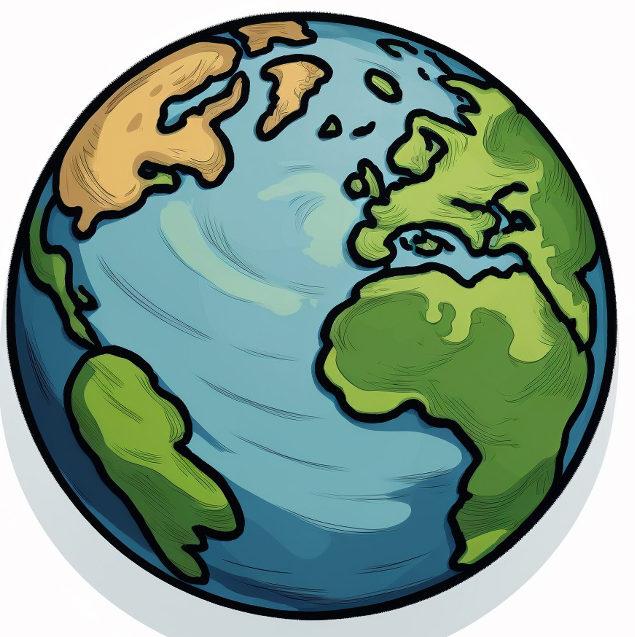
In today’s digital age, where technology connects every corner of the globe, Google Earth Pro stands as a remarkable innovation that allows users to explore the planet from their screens. What once seemed like science fiction—a virtual globe that offers high-resolution imagery, 3D terrain, historical maps, and real-time data—has become an accessible and powerful tool for education, research, travel planning, and environmental analysis.
What is Google Earth Pro?
Google Earth Pro is a free, desktop-based version of Google Earth, offering advanced features and tools not found in the web or mobile versions. Initially released as a paid product, Google Earth Pro became free in 2015, opening its advanced capabilities to everyone—from students and teachers to scientists, researchers, and everyday explorers.
Unlike Google Maps, which focuses on directions and street-level navigation, Google Earth Pro gives users a global perspective, allowing them to fly over landscapes, examine cities in 3D, and view satellite imagery from across the decades.
Key Features of Google Earth Pro
1. High-Resolution Satellite Imagery
Google Earth Pro provides detailed satellite images that allow users to zoom in on virtually any part of the world. From the bustling streets of New York City to remote deserts in Africa, users can explore places they’ve never seen in person with incredible clarity.
2. 3D Buildings and Terrain
The 3D modeling feature brings cities to life. Major urban areas have buildings rendered in 3D, offering a realistic sense of scale and structure. The terrain feature allows users to view mountains, valleys, and other geographical features in a three-dimensional form.
3. Historical Imagery
One of the most powerful features in Google Earth Pro is the ability to go back in time. Users can view historical satellite imagery and observe how landscapes, cities, and environments have changed over time. This tool is especially useful for researchers and environmentalists studying urban development, deforestation, glacier retreat, and more.
4. GIS Data Importing
Google Earth Pro supports importing GIS (Geographic Information Systems) data. Users can overlay shapefiles (.shp), KML/KMZ files, and CSV data with geographic coordinates. This feature is particularly valuable for professionals working in geography, urban planning, and disaster management.
5. Movie Maker
Users can record guided tours, flyovers, and animations using the built-in Movie Maker. This allows educators, journalists, and researchers to create visual storytelling experiences that engage audiences and explain complex geographical data visually.
6. Measurement Tools
Whether you’re measuring the distance between two cities or the area of a piece of land, Google Earth Pro offers advanced measurement tools. You can measure in miles, kilometers, acres, or square feet, making it ideal for planning, surveying, and analysis.
7. Street View Integration
Though Street View is more commonly associated with Google Maps, Google Earth Pro also incorporates it. This allows users to virtually walk the streets of cities around the world, providing a ground-level perspective of homes, businesses, and landmarks.
Applications of Google Earth Pro
1. Education and Learning
Google Earth Pro is a valuable resource for teachers and students. It brings geography lessons to life by allowing learners to explore physical features, countries, oceans, and even historical sites like the Pyramids of Egypt or the Great Wall of China. Teachers can design interactive activities and field trips without ever leaving the classroom.
2. Environmental Monitoring
Environmentalists use Google Earth Pro to track changes in ecosystems, monitor deforestation, and observe the effects of climate change. With historical imagery, they can analyze how a region has transformed over time and advocate for conservation with visual evidence.
3. Urban Planning and Development
Urban planners and architects rely on satellite imagery and 3D terrain to analyze current infrastructure, plan new developments, and assess how proposed projects will fit into the landscape. Google Earth Pro allows for accurate measurements and overlays of development plans.
4. Journalism and Storytelling
Many journalists use Google Earth Pro to add depth to their stories. It helps them visualize locations, create interactive maps, and demonstrate the geographical context of events like wars, natural disasters, or global migrations.
5. Disaster Response and Preparedness
In the aftermath of natural disasters such as earthquakes, floods, or hurricanes, Google Earth Pro becomes a critical tool. Emergency response teams use satellite imagery to assess damage, plan relief operations, and coordinate logistics.
6. Travel and Exploration
Travel enthusiasts use Google Earth Pro to plan trips, explore destinations, and find hidden gems around the world. It can show you viewpoints, tourist attractions, hotels, and hiking trails—all with a virtual preview before booking a flight.
Benefits of Using Google Earth Pro
Free Access: Unlike many advanced mapping tools, Google Earth Pro is completely free, making it accessible to users worldwide.
User-Friendly Interface: Despite its powerful features, the interface is intuitive. Users can easily navigate, search, and customize their experience.
Cross-Platform Compatibility: It runs on Windows and Mac, and the mobile version, though limited, syncs with your account for continuity.
Offline Capability: Users can save places and data offline, making it useful in regions with limited internet access.
Limitations and Considerations
While Google Earth Pro is powerful, it is not without limitations:
- Data Accuracy: Some areas, especially in remote regions, may have outdated or lower-resolution images.
- Limited Real-Time Updates: Satellite imagery is not updated in real time; some areas might have images that are months or years old.
- Steep Learning Curve for Advanced Features: Importing GIS data and using tools like Movie Maker may require practice or tutorials.
The Future of Google Earth Pro
Google continues to invest in the Earth platform, integrating machine learning and AI to improve image recognition and data processing. There’s growing interest in combining Google Earth Pro with real-time data sources, weather patterns, and environmental sensors for even more impactful applications.
As augmented reality (AR) and virtual reality (VR) evolve, we may soon see Google Earth Pro expanding into immersive, VR-compatible exploration—allowing users to “walk” the planet with a headset from their living rooms.